


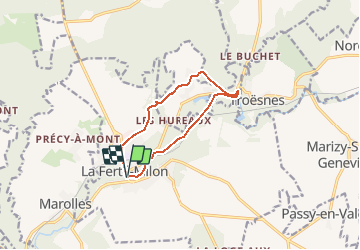

9.3 km | 11.1 km-effort

User


FREE GPS app for hiking
 SityTrail
IGN / Geographical institutes
SityTrail World
The world is yours!
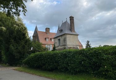
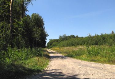
Trail Walking of 8.9 km to be discovered at Hauts-de-France, Aisne, La Ferté-Milon. This trail is proposed by tracegps.
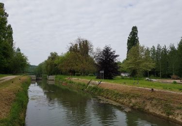
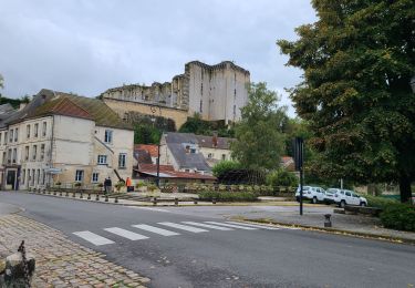
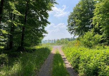
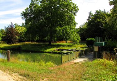
Le long d'un canal bordé de peupliers, après la maison de l'éclusier, le chemin de halage nous conduit à travers un paysage dont la douceur a séduit Corot. L'itinéraire tourne vers Silly-la-Poterie avant de revenir à La Ferté-Milon, au charme convivial. Toutes les infos sont ICI


Walking
Walking
Walking
Walking
Walking
Walking
Walking
Walking
Walking